STATUS: NOMINAL
LON 174.7762°
Advancedaerospace /autonomous ops.
Long-endurance VTOL mapping, LiDAR surveying and precision monitoring — engineered for New Zealand's toughest terrain. Fully CAA Part 102 exposition certified.
CAA
Part 102
ENDURANCE
90 MIN
PRECISION
±1 CM
COVERAGE
700 HA/FLIGHT
UPTIME
99.4%
◇ Core Pillars · 001–003
Three operationaldisciplines. Oneengineered system.
Every mission is planned, flown, logged and delivered under a single exposition — from paddock to pipeline. Below: the disciplines we run at industrial scale.

Autonomous Flying
Long-endurance VTOL and fixed-wing missions with cm-level PPK precision. Civilian survey-grade platforms flown across rugged NZ terrain.
Explore capability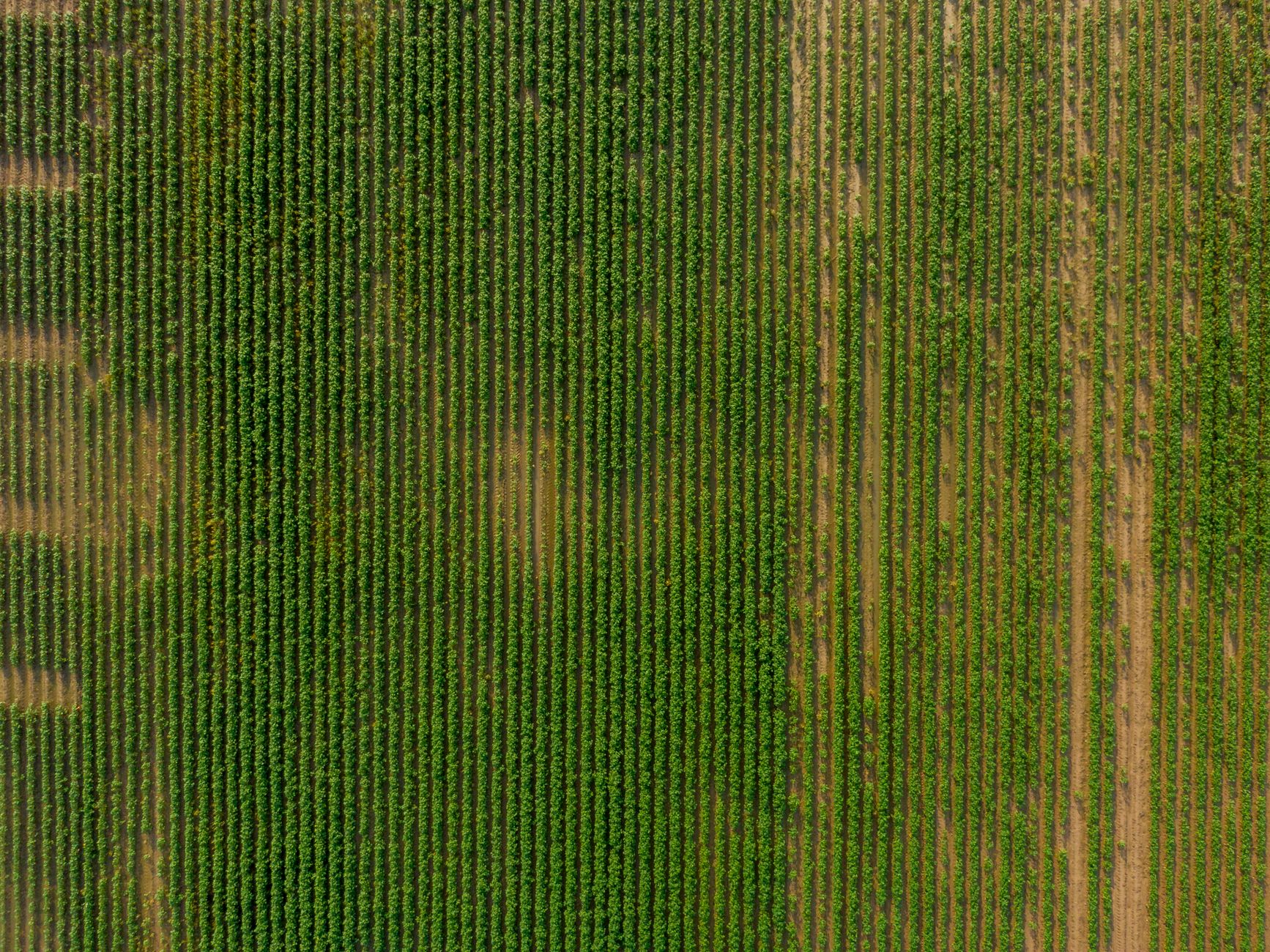
Aerial Surveying
High-resolution photogrammetry, LiDAR, and orthomosaic mapping. Bankable data for civil engineering & construction.
Explore capability
Precision Monitoring
Thermal, multispectral and asset inspection flights — repeatable, timestamped, exposition-compliant.
Explore capability◇ Aotearoa Ops
Rugged geography.Uncompromising data.
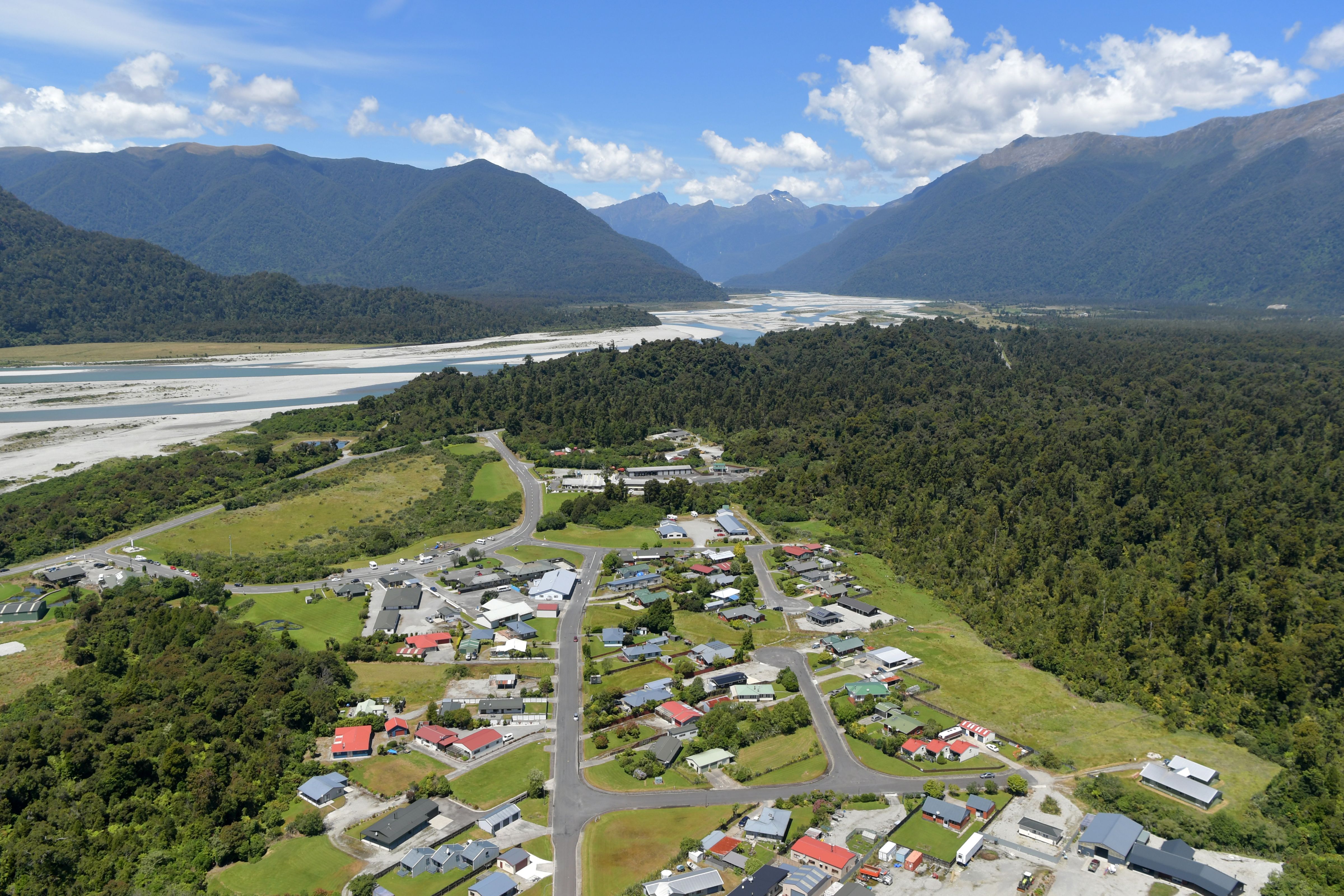
Alpine ridgelines, coastal farms, remote catchments. Our platforms are built to fly where the paperwork usually stops.
Field Proof · Case Studies
Missions flown.Data delivered.
Coastal baselines, quarry volumetrics, live-corridor topo and bespoke survey drones — a sample of the work behind the numbers.
◉ Representative missions · Aotearoa NZ
View all missionsThe Fleet · Autonomous Platforms
An enterprise fleet,engineered for range.
A multi-platform lineup selected for long-range autonomous operations — matched to the mission, maintained in-house, and flown under a single CAA Part 102 exposition.
Wingtra
VTOL Fixed-Wing
Quantum Systems
eVTOL Endurance
Aeronautics Systems
Industrial UAS
Syfly
Agile Multirotor
Eather Aeronautics
Long-Range Autonomy
◉ Platform-agnostic operations · Aotearoa NZ
Deploy the fleet
Engineering Proof · In-house R&D
Not just operators.We build the hardware.
Proof over promises. Our capability is demonstrated in deployed hardware — a ready-to-use FPV payload and a track record of custom systems built, integrated and flown.
CAP-01
Auxiliary FPV Camera System
A production-ready FPV payload — airframe-agnostic.
We have engineered a self-contained auxiliary FPV camera system that bolts onto multiple aircraft platforms without airframe redesign. Low-latency downlink, hardened power conditioning, and a modular mount let us field it across VTOL, fixed-wing and multirotor platforms — today, not next quarter.
- Cross-platform mount · VTOL / fixed-wing / multirotor
- Low-latency FPV downlink with isolated power rail
- Modular, tool-light install — no airframe redesign
- Bench-tested and flight-validated
CAP-02
Custom Drone Systems
Hands-on build, integration and deployment.
Beyond flying off-the-shelf platforms, our team designs, builds and deploys bespoke unmanned systems end-to-end. Mechanical, electronics and firmware in-house means we integrate to the mission — custom payloads, sensor fusion and control systems — and stand behind them in the field.
- In-house mechanical · electronics · firmware
- Custom payload & sensor integration
- Rapid prototype → deployed system
- Maintained and supported post-deployment
Technology & Equipment
The auxiliary FPVsystem, field-spec'd.
A modular, aircraft-agnostic auxiliary camera solution engineered for professional and industrial drone operators — deployable across the fleet without airframe-specific rework.
◇ System Spec Sheet
HELIX · AUX-FPV- GOGGLES / OPTICSWalksnail · DJI Goggles V2
- STABILISATIONIntegrated gimbal
- MOUNTModular · quick-release
- COMPATIBILITYAircraft-agnostic
The current build pairs Walksnail digital FPV goggles with integrated gimbal stabilisation for a clean, low-latency operator feed — mounted via a modular, quick-release rig that transfers between platforms in minutes.
◇ Available Options
Two goggle systems — supplied & fitted.
Option A
Walksnail
Option B
DJI Goggles V2
We supply and fit both goggle systems to your aircraft. Choose Walksnail or step up to DJI Goggles V2 for enhanced visual performance — sharper resolution, lower latency and improved reliability in demanding industrial environments. Either option ships with the same modular, cross-platform mounting architecture.
◇ Manifesto
A field guideto the way we operate.
We fly by exposition.
Every mission executed under a documented CAA Part 102 exposition — not a promise, a certified operating system.
Data is the deliverable.
Flight time is a means. What lands on your desk is centimetre-accurate, timestamped, audit-ready intelligence.
Payload agnostic.
VTOL mapping, LiDAR, multispectral, thermal, bespoke sensors — we integrate to the mission, not the other way around.
Engineered locally.
Mechanics, electronics, aerospace systems. In-house maintenance and integration means uptime you can plan against.